UN
34 South Bank
£ 275,000
Description
We don't have a Description for this property.
- Bedrooms
- 3
- Bathrooms
- 0
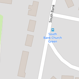
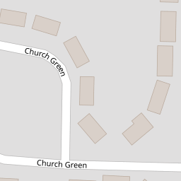
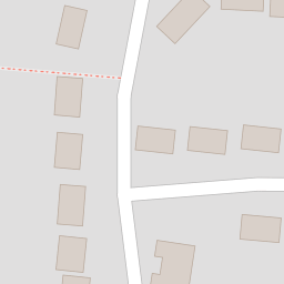
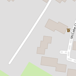
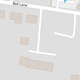

Leaflet © OpenStreetMap contributors
The heatmap indicates the level of crime in the area. The color of the heatmap indicates the crime severity and recency.
Metrics Year-on-Year
- Average area value
- 582,208.00 £Increased by 22.16 %
- Average area rental value
- 2,034.00 £/moDecreased by 0.39 %
- Est rental Yield
- 4.19 %Decreased by 18.48 %
- Crime Rate
- 10.00 %Unchanged by 0.00 %
from 476,594.00 £
from 2,042.00 £/mo
from 5.14 %
from 10.00 %
Nearby Schools
| Name | Type | Ofsted | Distance |
|---|---|---|---|
| Staplehurst School | Community School | Requires improvement | 0.50 KM |
| Frittenden Church Of England Primary School | Voluntary Controlled School | Good | 5.04 KM |
| Sissinghurst Voluntary Aided Church Of England Primary School | Voluntary Aided School | Good | 5.11 KM |
| Colliers Green Church Of England Primary School | Voluntary Aided School | Good | 5.83 KM |
| Cranbrook Children'S Centre | Children's Centre | 6.57 KM |
Images
Nearby Streets
| Name | Average Price | Average Sqft | Distance |
|---|---|---|---|
| High Street | £ 492,824 | 0 | 0.00 KM |
| Maybourne Place | £ 650,000 | 0 | 0.00 KM |
| Crouch Road | £ 300,000 | 0 | 0.00 KM |
| Lodge Road | £ 0 | 0 | 0.00 KM |
| Liddicoat Road | £ 0 | 0 | 0.00 KM |
Nearby Transport
| Name | NLC | TLC | Distance |
|---|---|---|---|
| Staplehurst | 5228 | SPU | 1.56 KM |
| Marden (Kent) | 5223 | MRN | 6.56 KM |
| Headcorn | 5220 | HCN | 8.64 KM |
Nearby Listings
| Address | Price | Type | Score | Distance |
|---|---|---|---|---|
| Church Green, Staplehurst, Tonbridge | £ 390,000 | BUY | 6 / 10 | 0.14 KM |
| Church Green, Tonbridge, Kent | £ 350,000 | BUY | 5 / 10 | 0.17 KM |
| Fitzgerald Close, Staplehurst, Tonbridge, Kent | £ 300,000 | BUY | 6 / 10 | 0.18 KM |
| Bell Lane, Staplehurst, Tonbridge | £ 415,000 | BUY | 7 / 10 | 0.18 KM |
| Jaggard Way, Staplehurst, Tonbridge, Kent | £ 205,000 | BUY | Unknown | 0.24 KM |
Nearby Properties
| Address | Price | Distance |
|---|---|---|
| 34 South Bank | £ 275,000 | 0.00 KM |
| 20 South Bank | £ 235,000 | 0.01 KM |
| 72 Church Green | £ 333,500 | 0.16 KM |
| 48 Church Green | £ 155,000 | 0.16 KM |
| 58 Church Green | £ 255,000 | 0.16 KM |